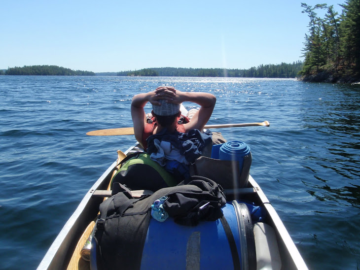
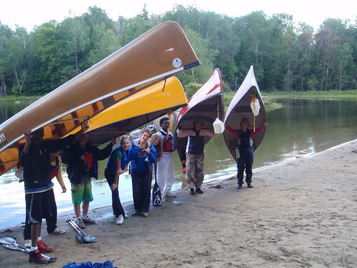
Another 14 miles today. Sarah must have arms like Popeye by now.
Their SPOT GPS location is
http://maps.google.com/maps?f=q&hl=en&geocode=&q=67.94701,-116.50276&ll=67.94701,-116.50276&ie=UTF8&z=12&om=1
I think that they have just over 40 miles to go to reach Kugluktuk.
I will try to post an overall picture of their route and campsites when I can get someone to help me cut and paste the picture off Google Earth.
The next couple of days will present a challenge to their navigation skills when the river crosses a couple of lakes.
Keep on paddlin y'all.
Joe

Tuesday, 13 July 2010
Subscribe to:
Post Comments (Atom)


My mistake. The lakes that I thought the river crosses turned out to be the shadows of the clouds photographed on Google Earth
ReplyDelete